De Slufter
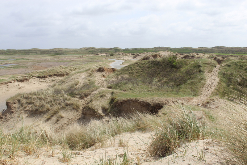
The main part of the Slufter is a wide dune valley which has an open connection to the North Sea though a hole in the outer dunes De Slufter (nl). At high tide seawater streams into the Slufter though creeks and at low tide it streams out again. The large Sluftercreek at the beach is where the water comes through most the time. Over time the creek has moved in a northern direction. Because this creek was heavily damaging the dunes on the northern side in May 2004, intervention was needed. A new creek was constructed on the far most southern part of the Slufter, and the old creek was closed up a week later. On an average high tide the seawater only gets into the creeks and small lakes, on an extreme high tide the larger part of the Slufter is inundated.
The vegetation consists largely of salt marsh plants. In June the area colors mainly purple because of the Sea-lavender. In October it is mainly red because of the Common glasswort. Sea-buckthorn also grows here.
Many birds visit the Slufter estuary. The common eider breeds here, the spoonbill comes to forage and a variety of waders only enter on a high tide.
Many seashells of the present sea fauna, as well as many fossil seashells dating back to the Eemian Stage wash on to the coastal plain of the Slufter.
The Slufter is separated from the North Sea by two long dune strips, this area is called De Lange Dam. In between the dune stripes there is a valley with fresh water, many orchids grow here.


Geen opmerkingen:
Een reactie posten